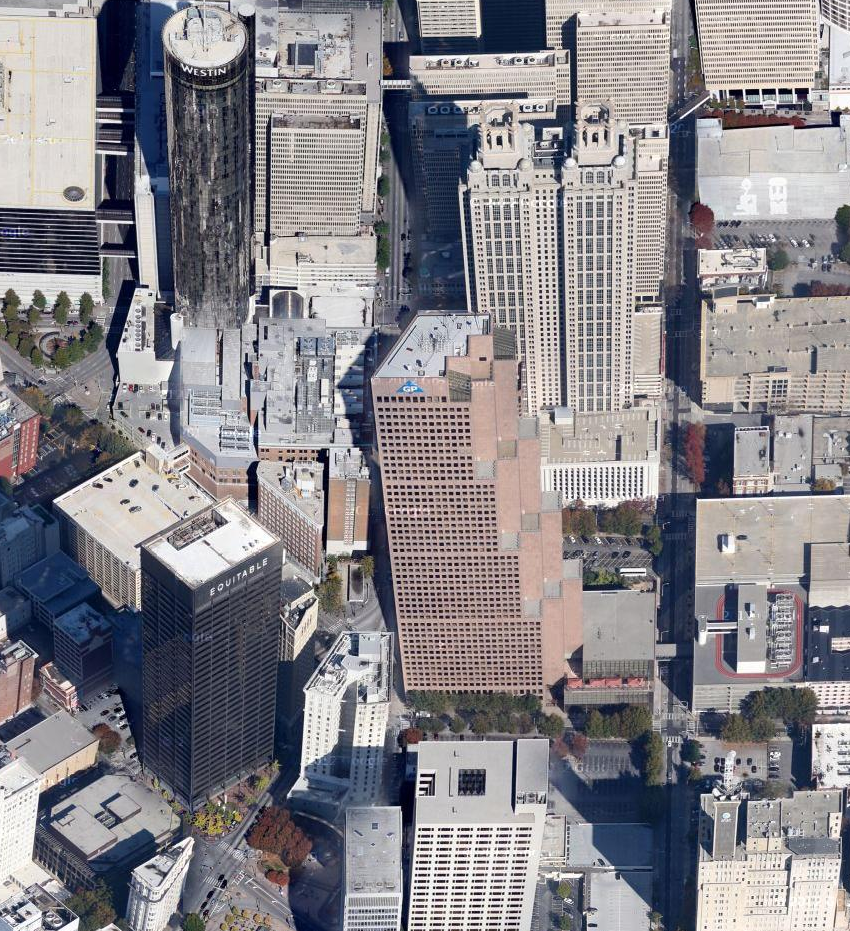
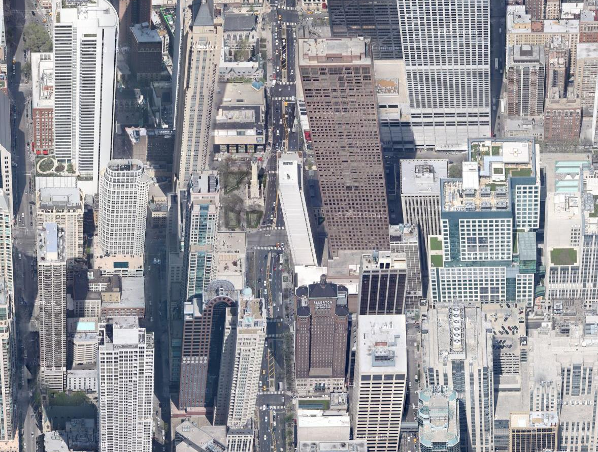
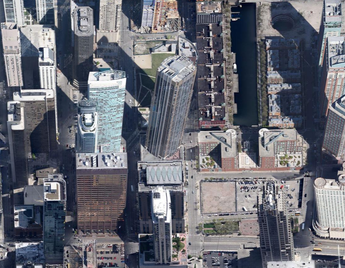
I spend a lot of time researching cities and properties through Google Maps, and I'm always delighted to find areas where Google offers 45˚ views of the landscape. Many of the larger American cities have this feature, which is created by stitching together a series of aerial photos to form a detailed composite that can be viewed from the north, south, east, and west.
Unlike the straightforward top-down view that is shot via satellite, the 45˚ view is a little less forgiving when it comes to perspective. It's pretty cool to come across the occasional inconsistencies of these intricately detailed landscapes, so I've put together a gallery of screenshots from five major American cities that give us a wild look at contorted skylines and mismatched towers.


For a great list of the best 45˚-enabled cities, check out 15 Google Maps with Stunning 45˚ Views at Condé Nast Traveler.